Relevance of Soil Moisture Estimation
Soil moisture is the key state variable in hydrology: it is the switch that controls the proportion of rainfall that percolates, runs off, or evaporates from the land.

A truck mounted L-band Radiometer helps to establish algorithms, which lead to satellite sensor development for global monitoring, such as NASA’s SMAP mission.
|
Recent Accomplishments:
-
Validation of Satellite Soil Moisture Products: Global soil moisture products are now being operationally generated by space agencies in the U.S. and Japan. Validating these products is critical to the potential users who must know whether they are accurate and reliable. The disparity of spatial scales between what we are able to measure on the ground to the large domains that the satellite observes makes this a challenging task. In this study, soil moisture products were compared to in situ observations derived from networks developed specifically for this purpose. Soil moisture products from satellite sensors have the potential to dramatically improve the accuracy and timeliness of weather, climate, and agricultural assessments and forecasts used by the United States Department of Agriculture, the National Oceanic and Atmospheric Administration, and other agencies. Publications: Jackson, T. J., Cosh, M. H., Bindlish, R., Starks, P. J., Bosch, D. D., Seyfried, M. S., Goodrich, D. C., and Moran, M. S. Validation of Advanced Microwave Scanning Radiometer soil moisture products. IEEE Trans. Geosci. Remote Sens. 48 (12): 4256-4272. 2010; Jackson, T. J., Bindlish, R., Cosh, M. H., Zhao, T., Starks, P., Bosch, D. D., Seyfried, M., Moran, M. S., Goodrich, D. C., Kerr, Y. H., and Leroux, D. Validation of Soil Moisture and Ocean Salinity (SMOS) soil moisture over watershed networks in the U.S. IEEE Trans. Geosci. Remote Sens. 99. 1-14. 2011

Tom Jackson coordinates in situ soil moisture networks as part of satellite remote sensing field experimentation. This Soil Climate Analysis Network station in Alabama was the focus of one such experiment in 2003, entitled SMEX03. Students from Alabama A&M University assisted with field collection of soil moisture samples.
|
-
Estimation of Forest Canopy Effects on Radar Sensing of Soil Moisture: For the remote sensing of soil moisture, the presence of trees causes attenuation to the soil emission underneath. For accurate soil moisture retrievals through a forest canopy, the correction for the vegetation effects is needed. A new technique for determining the canopy attenuation using the measured stepped frequency radar backscatter response was proposed. The technique developed here can be adapted to the airborne or spaceborne systems using similar instruments. Having the forest attenuation information on a global basis will help to extend accurate soil moisture retrievals from global microwave mission to more areas of Earth’s surface than are currently feasible. Publications: Kurum, M., O’Neill, P. E., Lang, R. H., Cosh, M. H., Joseph, A. T., and Jackson, T. J., 2012, Impact of conifer forest litter on microwave emission at L-band. IEEE Trans. Geosci. Remote Sens., 50 (4), pp 1071-1084; Kurum, M., Lang, R. H., O’Neill, P. E., Joseph, A. T., Jackson, T. J., and Cosh, M. H., 2011, A first-order radiative transfer model for microwave radiometry of forest canopies at L-band. IEEE Trans. Geosci. Remote Sens., 49 (9), pp. 3167-3179; Kurum, M., O’Neill, P. E., Lang, R. H., Joseph, A. T., Cosh, M. H., and Jackson, T. J., 2011, Effective tree scattering and opacity at L-Band. Remote Sens. Environ., 118, pp. 1-9.
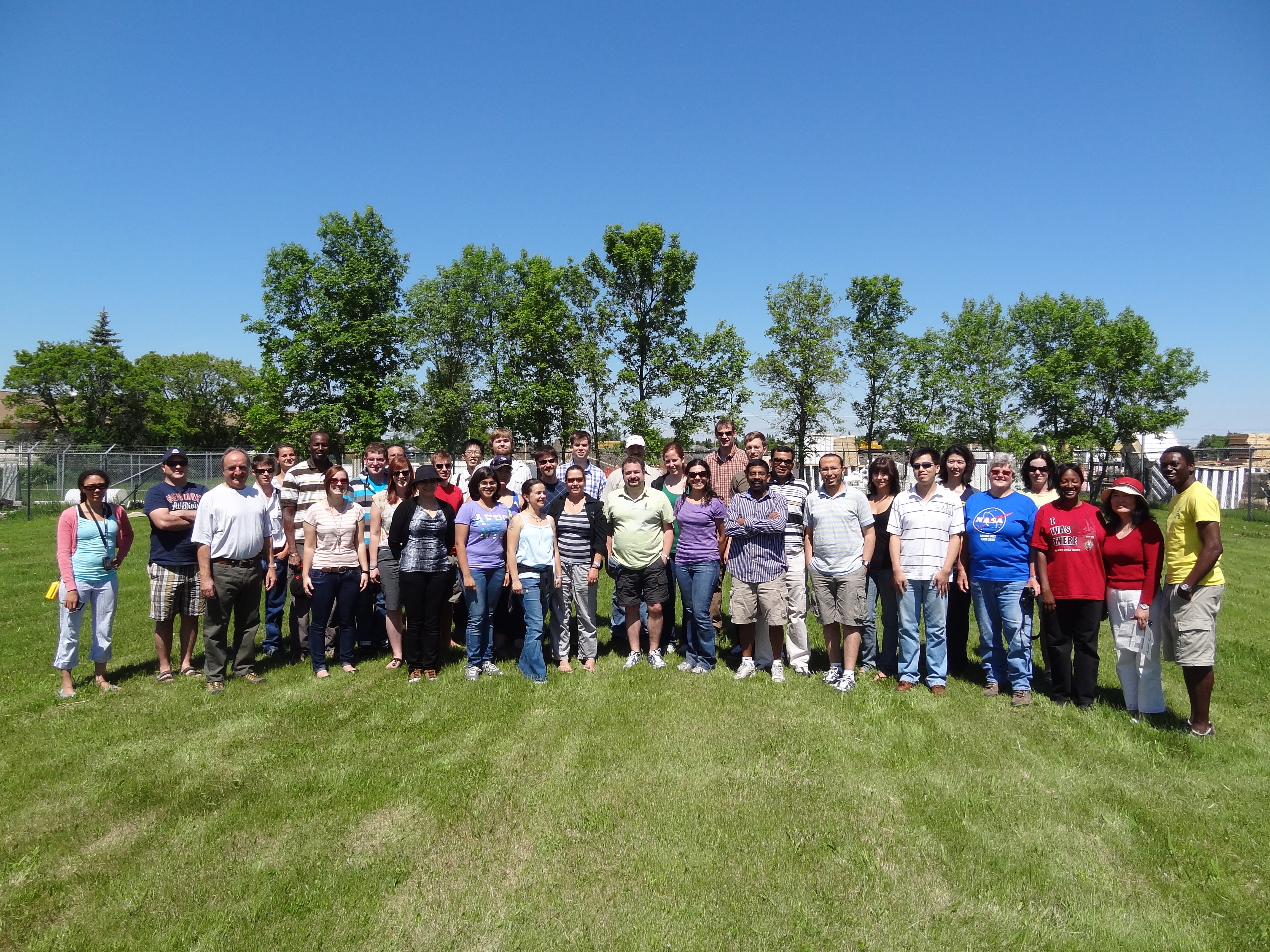
Ground Sampling team for the Soil Moisture Active Passive Validation Experiment held in Winnipeg, Manitoba, Canada in June-July 2012. This experiment was led by HRSL’s Tom Jackson and Agriculture and Agri-Food Canada’s Heather McNairn.
|
-
Improving Precipitation Accumulation Estimates Using Satellite Soil Moisture Products: Accurate estimates of short-term rainfall accumulation are critically important for a large number of agricultural management applications including: water quality monitoring, reservoir management, drought detection and irrigation scheduling. However, over many agricultural-producing regions of the world, insufficient numbers of ground-based rain gauges are available to accurately measure such accumulations. Satellite-base rainfall retrievals offer an alternative, but are prone to large error over land areas. This research describes and implements a new rainfall measurement technique based on observing temporal variations in surface soil moisture observations made from a satellite microwave radiometer. These soil moisture variations can be merged with a surface water balance model (forced by the satellite-based rainfall retrievals) to yield temporally dynamic corrections to the rainfall forcing. Global application of this technique – referred to as the Soil Moisture Analysis Rainfall Tool (SMART) - has demonstrated its potential for significantly improving our ability to measurement 3-day rainfall accumulations over areas of the world (e.g. the Horn of Africa and Central Asia) with significant food security and water resource management issues. Publications: Crow, W.T., van Den Berg, M.J. , Huffman, G.F. and, Pellarin, T. Correcting rainfall using satellite-based surface soil moisture retrievals: The soil moisture analysis rainfall tool (SMART), Water Resources Research, 47, W08521, doi:10.1029/2011WR010576, 2011; Chen, F., Crow, W.T., and Holmes, T. Improving long-term, retrospective precipitation datasets using satellite-based surface soil moisture retrievals and the Soil Moisture Analysis Rainfall Tool (SMART). Journal of Applied Remote Sensing, in press.
Contact:
Michael Cosh, michael.cosh@ars.usda.gov, 301-504-6461
|
