Watershed Modeling
Application and modification of water quality models at field, watershed,
and regional scales.

Ali Sadeghi (left) and landowner Bill Collier examine water quality in a ditch under controlled drainage management within the Choptank Watershed. This monitoring information will be used for calibration and modification of watershed models such as SWAT (Soil and Water Assessment Tool) for application to similar watersheds within the Chesapeake Bay region.
|
Selected accomplishments:
-
Improved SWAT model water budget estimation and evaluated potential use of REMM model in combination with SWAT: The application of the Soil and Water Assessment Tool (or SWAT) model to a watershed in Maryland resulted in an underestimation of the water budget, since at this relatively small scale (~ 346 ha watershed) SWAT ignored the subsurface flow contributions. Simulation results improved significantly when an improvement was made to include the outside subsurface flow into the SWAT water budget, using USGS Water Balance criteria. Publications: Graff, C.D., Sadeghi, A.M., Lowrance, R.R., and Williams, R.G. Quantifying the sensitivity of the riparian ecosystem management model (REMM) to changes in climate and buffer characteristics common to conservation practices. Trans. of the ASABE. 48(4): 1377-1387. 2005; Chu, T.W., Shirmohammadi, A., Montas, H., and Sadeghi, A.M. Evaluation of the SWAT model’s sediment and nutrient components in the Piedmont physiographic region of Maryland. Trans. of the ASABE. 47(5): 1523-1538. 2004.
|
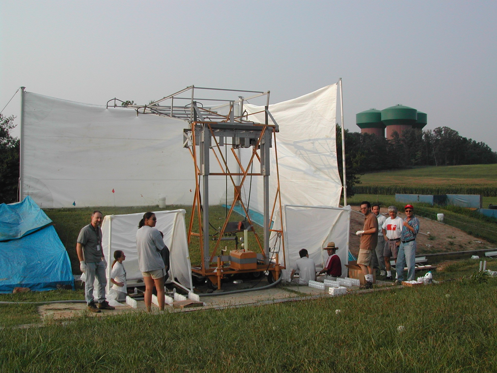
Field lysimeter at Beltsville, where most of the pathogen fate and transport studies are being carried out between HRSL and EMFSL. A customized rainfall simulator at the bottom of the 20% slope test plot used during the experiment is shown. |
-
Developed “a Pathogen Sub-Model” for evaluating pathogen fate and transport at watershed scale: As pathogen fate and transport became a more serious pollution concern of the nation’s surface water resources, there was a need for a watershed scale model to assess the impact of pathogen loads, from animal manures applied to agricultural lands. The USDA Soil & Water Assessment Tool (or SWAT) model was used for this model improvement. Prior to this, the SWAT model was capable of providing reasonable estimates for excess nutrients and sediment, but did not have a pathogen component. Publications: Baffaut, C., and Sadeghi, A.M. Bacteria modeling with SWAT for assessment and remediation studies: A review. Trans. of the ASABE. 53(5): 1585-1594. 2010; Sadeghi, A.M., and Arnold, J.G. A SWAT/microbial sub-model for predicting pathogen loadings in surface and groundwater at watershed and basin scales. In Total Maximum Daily Load (TMDL) Environmental Regulations. In: Proceedings of the March 11–13, 2002 Conference at Fort Worth, Texas, USA. ASABE Publication 701P0102, pp.56–63. 2002.
-
Improved SWAT model streamflow prediction capability using NEXRAD precipitation as input: Preliminary SWAT model applications to two river basins (the Choptank watershed in Maryland and the South Fork watershed in Iowa) failed to provide satisfactory stream flow predictions. In Choptank, the weather stations were outside the watershed, and in Iowa, the number of rainfall gauges within the watershed was insufficient (one gauge per 420 km2). Using the radar‐based precipitation measurement “Next Generation Radar” (NEXRAD) along with the existing rainfall gauges improved SWAT estimates of streamflows in both watersheds. Furthermore, using both rain gauge data and NEXRAD data provided superior results, even when the watershed included good spatial distribution of rain gauges. Publications: Sexton, A.M., Sadeghi, A.M., Zhang, X., Srinivasan, R., and Shirmohammadi. A. Using NEXRAD and rain gauge precipitation data for hydrologic calibration of SWAT in a northeastern watershed. Trans. of the ASABE. 53(5): 1501-1510. 2010; Beeson, P.C., Doraiswamy, P.C., Sadeghi, A.M., Di Luzio, M., Tomer, M.D., Arnold, J.G., and Daughtry, C.S.T. Treatments of Precipitation Inputs to Hydrologic Models. Trans. of the ASABE. 54(6): 2011-2020. 2011.

Control Drainage Well Installation: showing the flasher for water table control and the Isco flow meter/sampler for flow measurement.
|
-
Participation in the national “Conservation Effects Assessment Project” (or CEAP): A joint NRCS/ARS program was established in 2004, known as “Conservation Effects Assessment Project” (CEAP). The Choptank watershed in Maryland, which is also one of the Chesapeake Bay river basins, was awarded by USDA-NRCS, as a long-term grant to Hydrology laboratory as one of the CEAP selected watersheds. The laboratory has been involved in various aspects of water quality research at this watershed since 2004. The Choptank watershed has been designated by USEPA as impaired, primarily due to the presence of several large-scale poultry operations within this watershed. The Choptank is also considered to have one of the Bay river basin’s highest nutrient loads. The specific goal of this work has been to evaluate the application, calibration, and validation of USDA water quality models such as SWAT for assessing the success of NRCS Conservation Programs that have been implemented in this watershed for improving soil and water quality conditions. Publications: McCarty, G.W., McConnell, L.L., Sadeghi, A.M., Hapeman, C.J., Graff, C., Hively, W.D., Lang, M.W., Fisher, T.R., Jordan, T., Rice, C., Whitall, D., Lynn, A., Keppler, J., and Fogel, M.L. Overview of the Choptank River watershed conservation effectiveness assessment project. J. of Soil and Water Conser. 63:461-474. 2008; Hively, W.D., Lang, M., McCarty, G.W., Keppler, J., Sadeghi, A.M., and McConnell, L. L. Using satellite remote sensing to estimate winter cover crop nutrient uptake efficiency. J. of Soil and Water Conser. 64(5):303-313. 2009.
-
Impacts of biofuel development on carbon management and agricultural practices evaluated: The goal of this project is to develop a validated management tool/decision support system to allow the farmers and stakeholders to evaluate the impacts of shifting cropping systems to strictly corn rotations (from corn/soybean rotations) for biofuel, and in particular, ethanol production on soil and water quality. This work is being carried out at the South Fork watershed in Iowa (780 square-kilometers, ~ 193,000 ac) and is also one of the 15 benchmark watersheds of the USDA Conservation Effects Assessment Project (CEAP) program. The SWAT and APEX watershed and field process-based model combination are used to track changes in water quality due to the expansion of corn production and the increased fertilizer applications resulting from continuous corn practices. Publications: Beeson, P.C., Sadeghi, A.M., Lang, M. W., Tomer, M.D, Daughtry, C.S.T. Sediment Delivery Estimates in Water Quality Models Altered by Resolution and Source of Topographic Data. J. of Environ. Qual. (Accepted on 11-16-2012); Daughtry, C.S., Hunt, E.R., Beeson, P.C., Lang, M. W., Serbin, G., Alfieri, J.G., McCarty, G.W., Sadeghi, A.M. Remote Sensing of Soil Carbon and Greenhouse Gas Dynamics across Agricultural Landscapes (in) Liebig, M. Franzluebbers, A, Follett, R (eds), Managing Agricultural Greenhouse Gases, Elsevier. 2012.
Contact:
Ali Sadeghi, ali.sadeghi@ars.usda.gov, 301-504-6693
|
