
 Image Number D2251-1 |
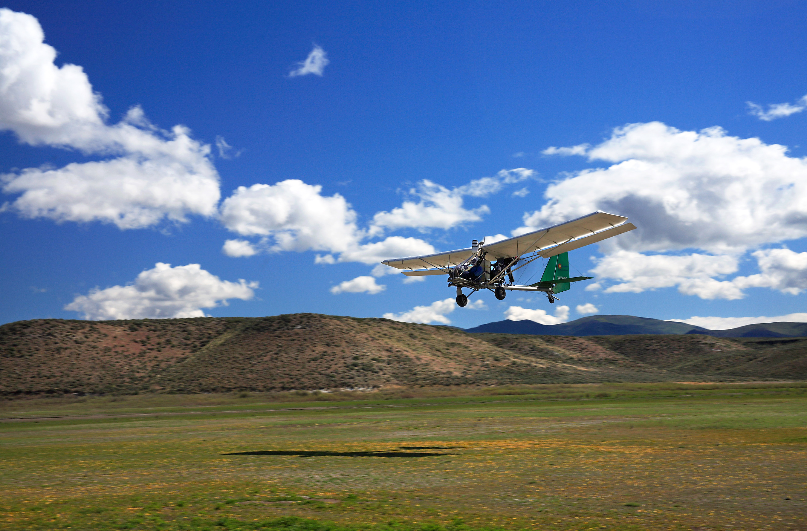
Using an innovative remote-sensing equipment package developed by the ARS High Plains Grasslands Research Station, pilot Joe Nance of Cloud Street Aerial Services, Fort Collins, CO, flies a light sport airplane at 300 feet above ground level as part of a 2008 aerial survey of streamside vegetation in Northeast Nevada.
Photo by Terry Booth.