
 Image Number D1745-1 |
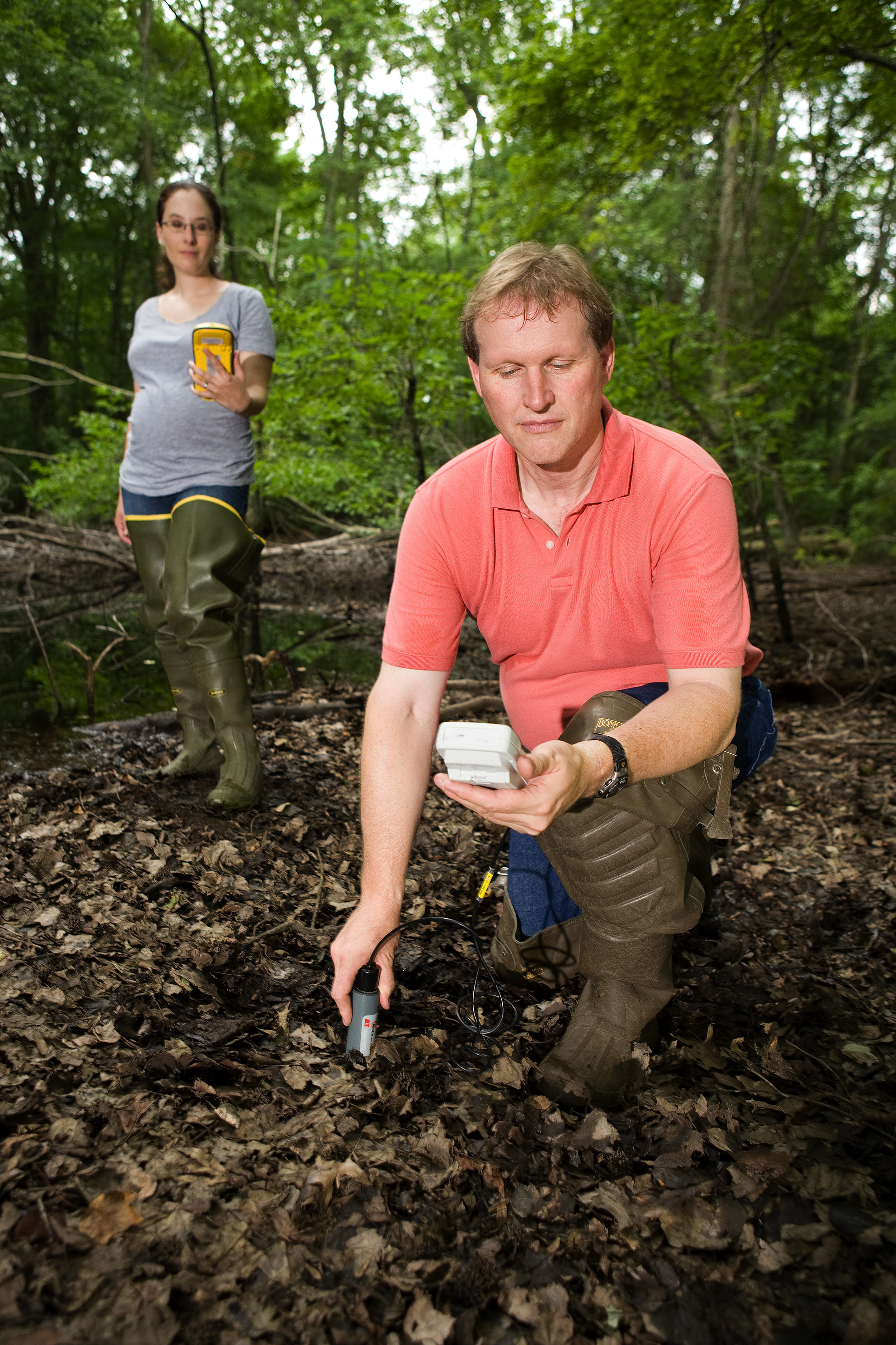
USDA Forest Service ecologist Megan Lang uses a global positioning system to determine an area’s exact location while ARS soil scientist Greg McCarty measures soil moisture at the location. Information on soil moisture is used to determine the accuracy of wetland maps produced using LiDAR and radar.
Photo by Peggy Greb.